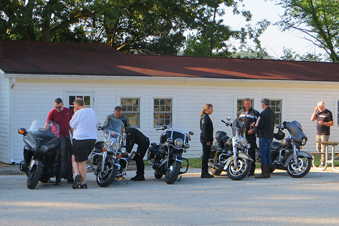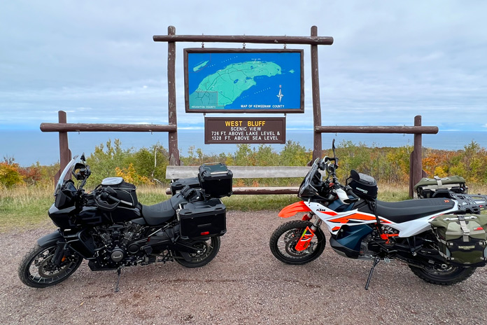
Motorcyclists living in Minnesota experience long winters with plenty of time to think about roads we want to ride. It’s a sweet feeling when spring arrives and the bikes come out of hibernation.
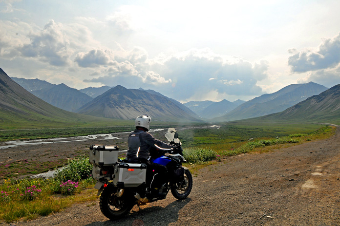
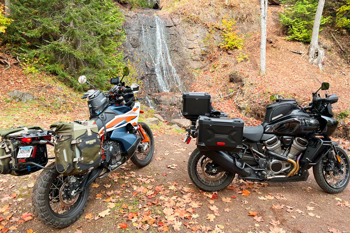
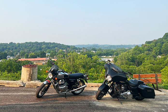
My son, Chad, feels the same way. We kicked off the riding season with an overnight Minnesota motorcycle ride down the Great River Road (U.S. Route 61) on the western bank of the Mississippi River, through what is often referred to as Bluff Country. The area’s complex hilly terrain has been carved out over eons by the Mississippi and other waterways large and small.
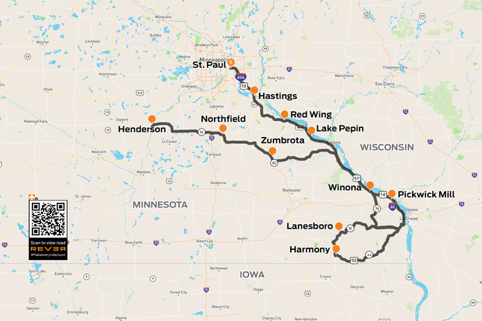
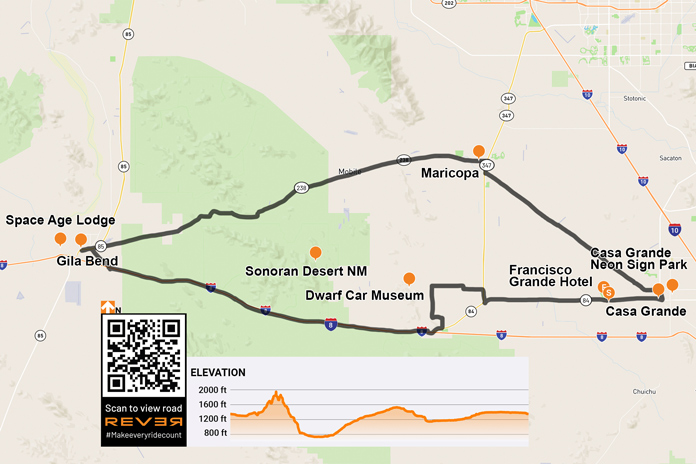
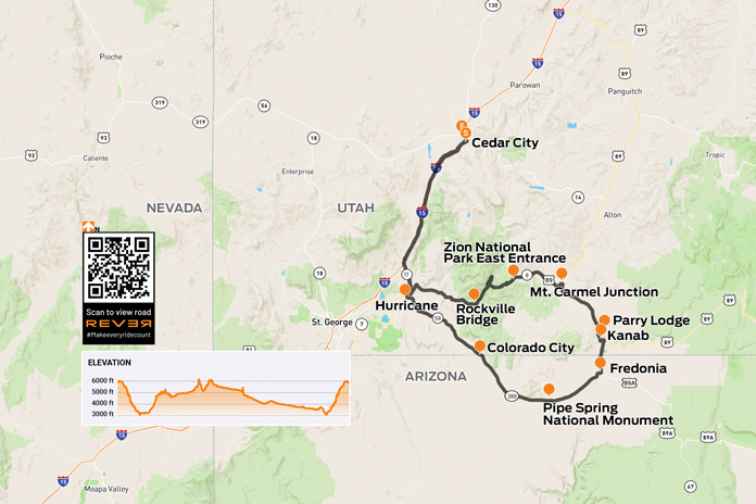
Scan QR code above or click here to view the route on REVER
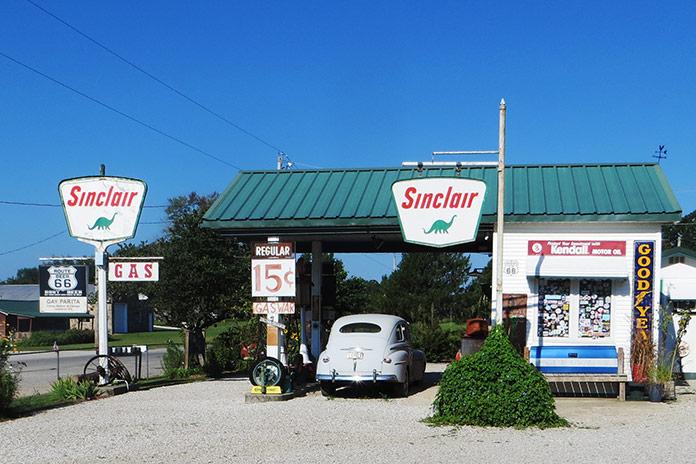
Minnesota’s Great River Road is a popular motorcycle route that offers epic beauty and a chance to visit towns along one of America’s most vital corridors of commerce. Starting in April with the annual “Flood Run” charity ride, thousands of riders thunder up and down these roads and frequent the many small-town bars and restaurants along the way. I’ve been on many of these roads before, and I love riding old favorites and exploring new side routes.
Related: Exploring the Far North: A Northern Minnesota Motorcycle Ride
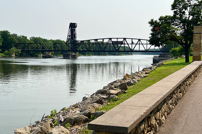
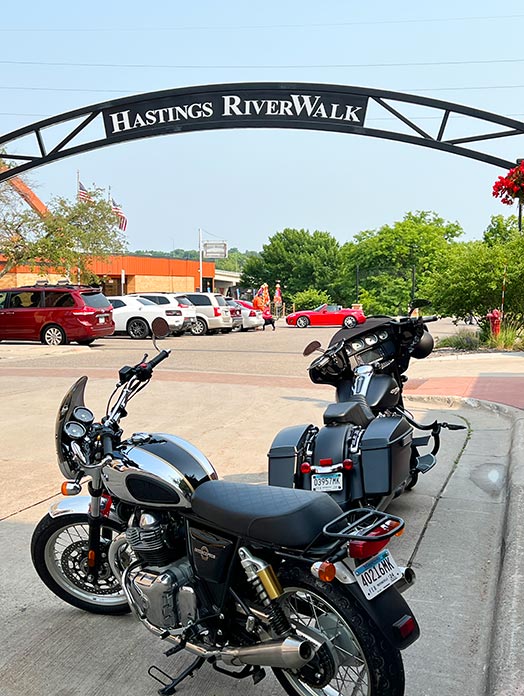
We left the Twin Cities early on a Saturday morning to beat traffic, and our first stop on this Minnesota motorcycle ride was the town of Hastings, which serves as a gateway to Bluff Country. The Hastings Riverwalk is a relatively new paved trail that connects to a 10-mile walking and biking loop along the Mississippi and Vermillion rivers. You can’t miss the towering Hastings Bridge, various sculptures along the waterfront, and the original footings of the Spiral Bridge, which was built in 1895 and dismantled in 1951.
East of Hastings, we continued south on the Ravenna Trail, one of the great lesser-traveled roads that tracks closely to the Mississippi River. We took the trail to the Prairie Island Indian Reservation and Treasure Island Casino, which boasts a 788-room hotel and Vegas-style casino attracting top entertainers. Resisting the temptation for easy money, we pushed on to rejoin U.S. 61.
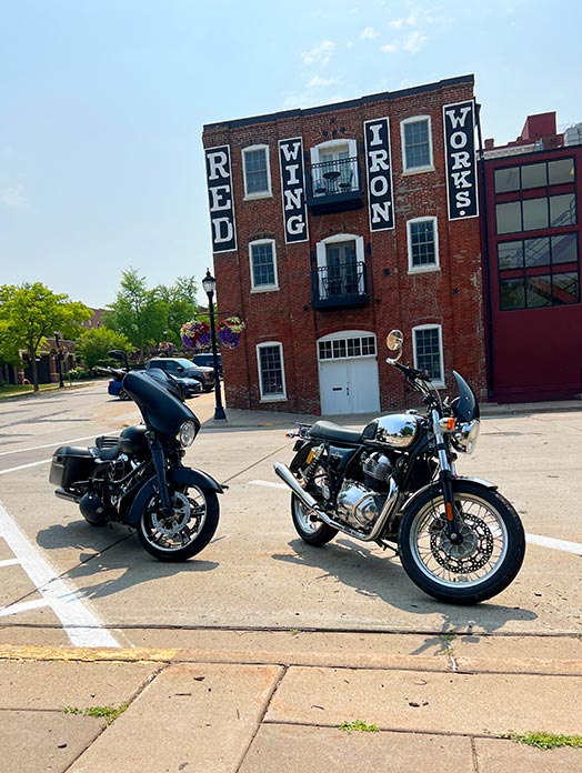
Our next stop was Red Wing, a town established in the 1850s to support steamboats moving up the Mississippi River toward vast available farmland. By 1873, Red Wing was a leading wheat producer, but it was eventually surpassed by Minneapolis where larger flour mills were built. Today the town is perhaps best known as the home of legendary boot maker Red Wing Shoes. The downtown St. James Hotel was founded in 1875 and has hosted U.S. presidents, Mark Twain, and other luminaries. Downhill from the hotel is the historic train station, which has old wooden benches and period signage on the walls. I could sit there all day watching the river roll by.
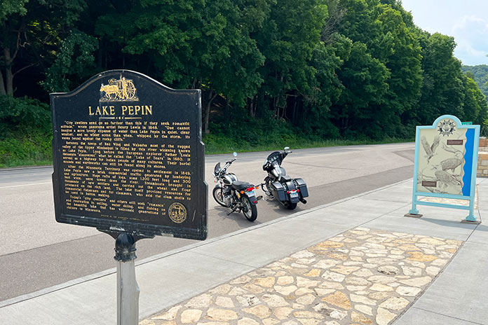
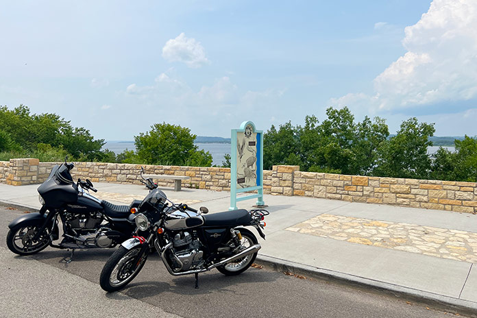
Continuing south, we visited Lake City, which sits on a wide stretch of the Mississippi called Lake Pepin, the birthplace of waterskiing. The lake was once a water highway used by Native Americans, and there are burial mounds and settlement ruins located nearby. Today, you’ll see raw materials being moved in barges and recreationists enjoying themselves in sailboats and ski boats.
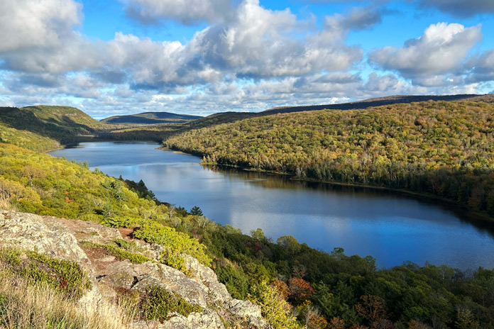
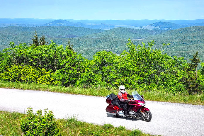
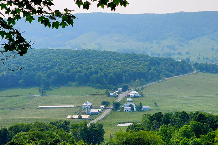
Towering above both sides of Lake Pepin are distinctive limestone bluffs and tree-covered rock formations. With such unique scenery, it’s a challenge to keep your eyes on the road ahead. One minute you are feeling the heat from the tarmac and gazing up at high bluffs, and the next you’re ripping through dense maple forests enjoying the cool air and earthy smells. For golf lovers, the Lake Pepin Golf Course has 12 holes laid out atop the bluffs overlooking the Mississippi River Valley.
We arrived at the next small town on our route, Reads Landing, just in time for lunch. This was once considered as a potential capital city for Minnesota due to its booming lumber trade and strategic location on the Mississippi and Chippewa rivers. Reads Landing Brewing Company occupies an old red-brick building with an outdoor patio overlooking the river. It has a full menu and was a great place to cool off and relax.
Adding to the Great River Road’s natural beauty is an abundance of birds soaring overhead. The National Eagle Center in Wabasha houses permanently injured bald eagles and provides an opportunity for people to see these majestic creatures up close.
As we continued south, we approached Winona, a vibrant college town that’s home to the Minnesota Marine Art Museum, which is located right on the river and exhibits artwork inspired by water. With a variety of dining and lodging options, recreational opportunities, live music, festivals, and shopping, Winona is a great destination for an overnight stay or weekend getaway.
Southeast of Winona, on County Road 7, is Pickwick Mill, one of the oldest flour mills in Minnesota, built in the mid-1850s. The mill was named by the area’s first postmaster, who was a fan of Charles Dickens and his novel The Pickwick Papers. During the Civil War, it produced 100 barrels of flour per day for the Union army.
See all of Rider‘s Minnesota motorcycle rides here.
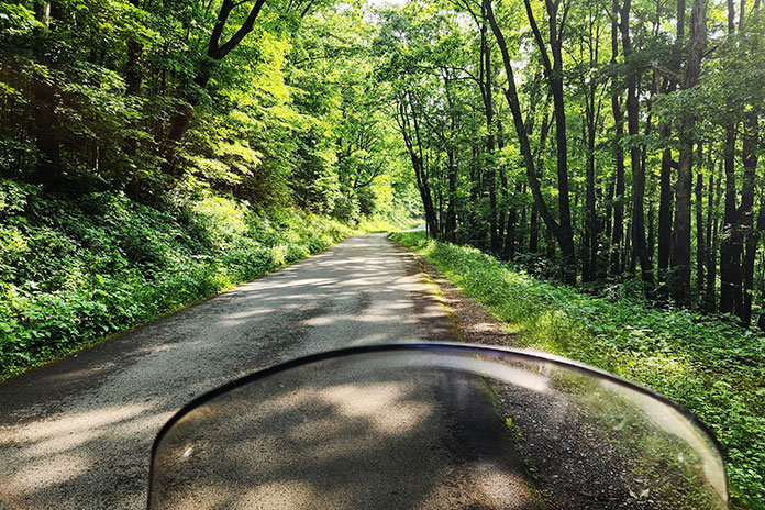
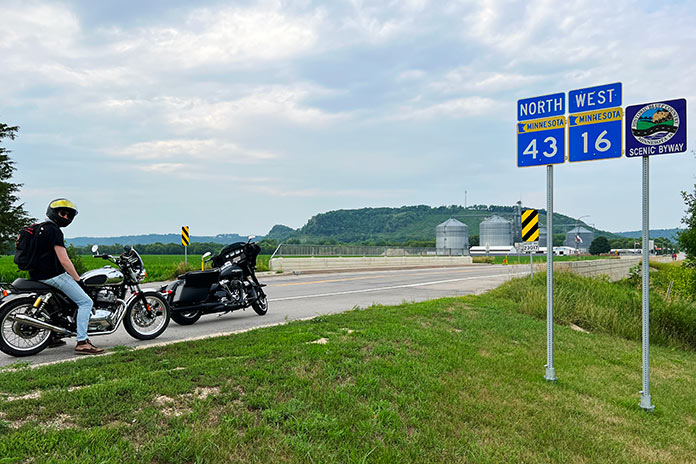
After returning to U.S. 61 and riding along the Mississippi to La Crescent, we turned west on the Historic Bluff Country National Scenic Byway (State Route 16). Even away from the river, bluff topography continues with hills and cliffs creating the winding roads we all live for. Through the towns of Hokah, Houston, and Rushford, we paralleled the Root River and the Root River State Trail, a rails-to-trails bike path linking the towns of Houston and Fountain.
After nearly 50 miles on the byway, we arrived in Lanesboro, an art, entertainment, and recreational hub where we spent the night. We stayed at the historic Hotel Lanesboro, which was built in 1872 from local limestone and is on the National Registry of Historic Places. Formerly a boarding house called Mrs. B’s, it once hosted Buffalo Bill and Doc Powell. The hotel is right on the main street with many good restaurants nearby. We had a tasty dinner at the Pedal Pushers Cafe, a nod to the many bicyclists who ride the state trail.
My Harley is much louder than Chad’s Royal Enfield, and I felt guilty breaking the morning silence as we headed to the towns of Preston and Harmony. This area is Amish country, and it wasn’t long before we saw our first horse and buggy. Friendly and always good for a wave, the Amish are an interesting subculture. There are about 1,000 Amish in Harmony, and you can take tours to learn more about their way of life and visit shops with baked goods, furniture, and more.
Seeing a horse with buggy tied up at a local convenience store, I pulled a quick turn to stop and take a picture. Soon two young ladies with bonnets saw me as I attempted to pocket my phone, not wanting to look like a gawking tourist. They wished me a good morning as they untied their horse and climbed aboard to clip-clop down the road.
See all of Rider‘s Midwest U.S. touring stories here.
Harmony is also home to Niagara Cave, where you can take a tour 200 feet below the surface. It’s well worth it for this mile-long underground hike to see the various rock formations and even a subterranean wedding chapel.
We continued south on U.S. Route 52 to Prosper, a stone’s throw from Iowa, where we headed east and then north on State Route 44 to Caledonia, picking up State Route 76, which has twisties so enjoyable that we rode some sections twice. SR-76 took us north most of the way back to Winona, where we backtracked north on U.S. 61 to Wabasha. We then turned west on State Route 60 and joined a pack of bikers thundering in the same direction. Alongside the road is a lone sentinel, a skeleton biker that’s a reminder to keep the rubber side down.
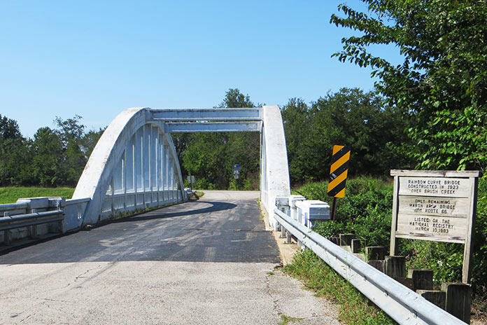
As we left the river and Bluff Country behind, the terrain flattened out as we made our way to Zumbrota, home of Minnesota’s last remaining functional covered bridge. Spanning the Zumbro River, the 116-feet-long, 15-feet-wide bridge was built in 1869 and looks like a long, red barn.
We rode northwest to Northfield, where in 1876, Jesse James and the James-Younger gang rode into town to rob the First National Bank. Facing pistols, the bank clerk refused to open the safe and was shot to death. Townsfolk retaliated, resulting in a shootout that killed another resident and a couple of gang members. The gang was pursued for 400 miles over the following weeks, eventually being captured in Madelia, Minnesota. Jesse James escaped, but his luck ran out when he was killed in 1882 by one of his own men hoping to collect a $10,000 reward.
We rode west to Henderson, which sits along the Minnesota River Valley National Scenic Byway, another favorite road. Henderson is an old river town with a historic downtown district that’s a fun place to visit.
Our Minnesota motorcycle ride through Bluff Country and along the Great River Road and other scenic byways gave us a taste of the history, beauty, and variety of southern Minnesota. The roads showcase some of the best riding, relaxing, and motorcycle-friendly places the state has to offer.
See all of Rider‘s touring stories here.
Southern Minnesota Motorcycle Ride Resources
- Minnesota
- Great River Road
- Hastings
- Lake Pepin Golf Course
- Reads Landing Brewing Company
- National Eagle Center
- Winona
- Minnesota Marine Art Museum
- Pickwick Mill
- Lanesboro
- Hotel Lanesboro
- Harmony
- Northfield
- Minnesota River National Scenic Byway
The post Beauty in Bluff Country: A Southern Minnesota Motorcycle Ride appeared first on Rider Magazine.
Source: RiderMagazine.com