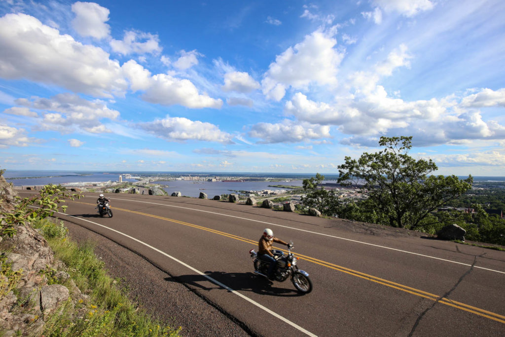
Minnesota, the Land of 10,000 Lakes, is ranked 12th among U.S. states in terms of land area but 9th in terms of water within its borders. This favorite ride visits the largest – Lake Superior – and others in a 200-mile loop that starts and ends in Duluth and has Ely at its northernmost point.
This simple day ride has evolved. I’ve ridden it at least once a summer for more than 30 years, starting with a 1978 BMW R100, then a 1981 BMW R80GS, and currently a 2007 BMWR1200R. Just as those bikes have changed, so has the road.
Scan QR code above to view route on REVER, or click here
It’s not my favorite ride, either. I don’t have a favorite ride, other than the next one. This is because every time I ride, I feel noticeably better. For me, there is nothing like the calming, clarifying effect of self-directed motion, and riding a motorcycle might be the richest delivery system for obtaining this benefit ever devised. So, commute riding to work, or around this loop, it’s all the same. Every ride is my favorite ride.
Check out more of Rider‘s Favorite Rides
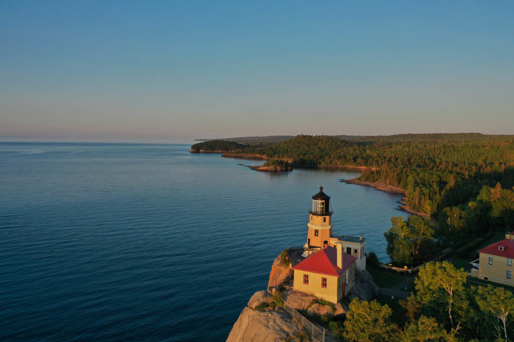
Starting from Duluth, at Canal Park, proceed along the North Shore of Lake Superior on State Route 61 to Two Harbors. Turn left and start riding due north on County Road 2. (Alternatively, you can ride farther up the shore, and a few miles past Silver Bay you’ll come to Illgen City, which isn’t actually a city, or even a town or village. It’s just a T-intersection where State Route 1 begins. There you turn left.)
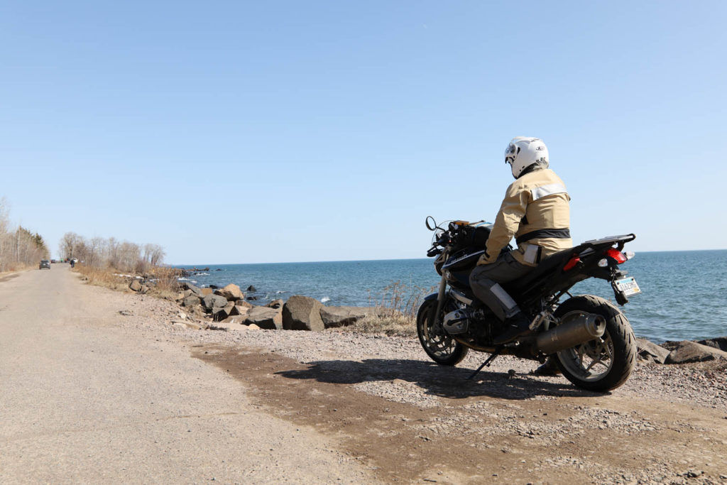
The ride is fairly flat along the North Shore, but it climbs as it heads inland, and soon you are surrounded by a second-generation forest of Norway pine, white birch, alder, and spruce. It’s as remote and empty-feeling a forest landscape as you’ll find anywhere in Alaska, Canada, or Siberia.
After heading north for 46 miles, County Road 2 dead-ends at Route 1. Hang a left toward Ely. Wildlife you might encounter includes white-tailed deer, moose, timber wolves, black bears, beavers, racoons, squirrels, loons, blackbirds, bald eagles, and a variety of ducks, geese, grouse, and partridge. Human encounters will be loggers driving big trucks, fishermen carrying rooftop canoes, occasional lumbering motorhomes, and a few Subaru-driving campers and hikers. There’s also a thin smattering of settlers and a couple little roadhouse bars.
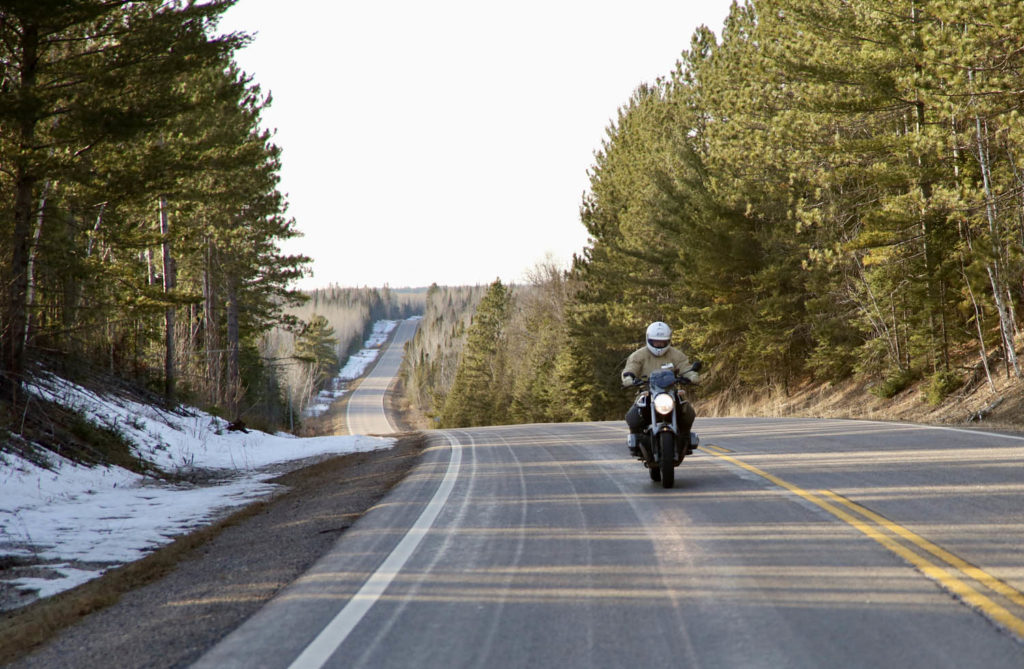
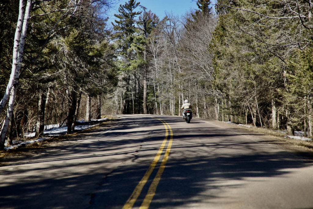
This old Route 1 has evolved. Back in the 1980s, its asphalt surface was shoulderless, rough, narrow, and already worn out, with plenty of tight 15-25 mph banked and closely linked corners which were fun to try at 30-45 mph. It was like a bumpier, frost-damaged version of the Tail of the Dragon, with enough kinks, tight corners, and expansion heaves to make any hard-ridden bike’s shocks and tires a little warm. Back then, this road was so tight, and for such long stretches, it was a great training area for young riders wanting to improve their skills. The mature forest whizzed by only a few feet from your elbows and knees, greatly adding to the sensation of speed. Boy, was it ever fun. No time to lollygag by looking into narrow clearings flashing by, or across the numerous small lakes, streams, and ponds, hoping to spot exotic wildlife. Nope, I’ve never seen a single moose up there, or a wolf, yet that is where a bunch of them are known to live. Eyes on the road.
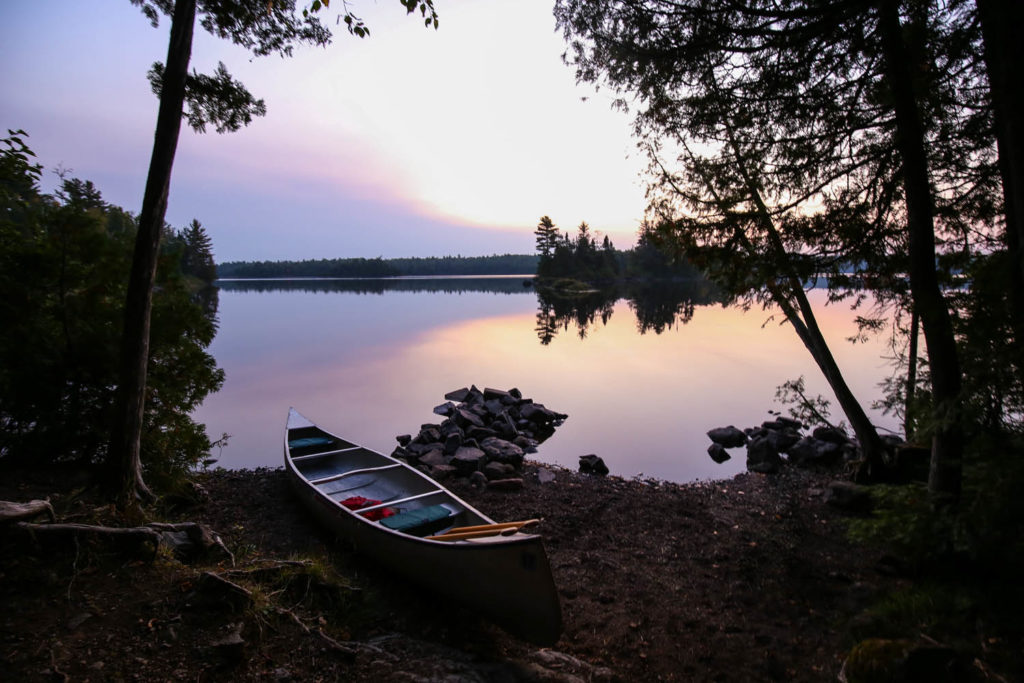
Not much of that fun old stretch of highway remains today. Most of it has been improved and widened to modern standards for the convenience and safety of loggers, fisherman, tourists, and locals. It’s still all scenic and curvy, but now it’s dozens of smoothly linked, higher-speed sweepers, and most of the sides include nice shoulders with decent runoffs. Those unyielding rocks and trees of the primordial forest are now at least 10 to 12 feet away from your elbows. Thanks, MnDOT. Well done. You’ve transformed a hillbilly hooligan-rider’s haven into a delightful sport-touring and touring rider’s experience.
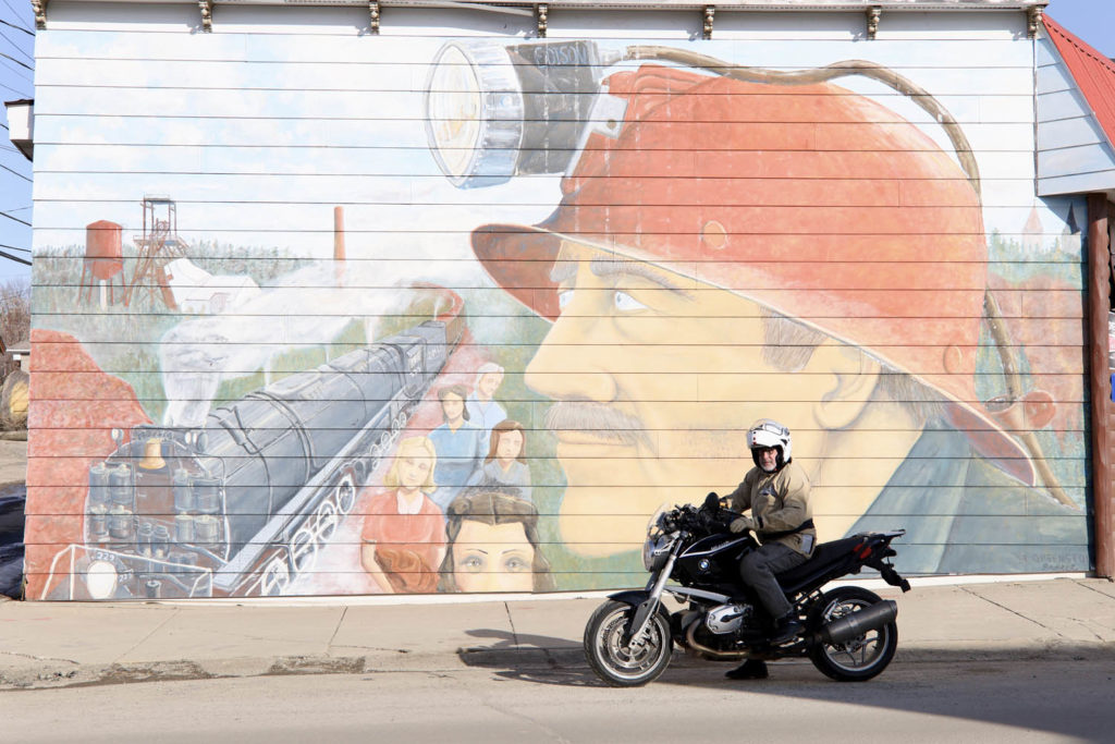
The apogee of this loop is the city of Ely, famous partly for mining but mostly as a jump-off point for canoe trippers wanting to paddle the endless lakes and rivers of the Boundary Waters Canoe Area Wilderness and explore Voyageurs National Park. With a little portaging here and there, you can just about paddle all the way to the Rockies, and in the 1700s lots of hard men did just that to trade with the natives for beaver pelts, which were in great fashion-demand across Europe then.
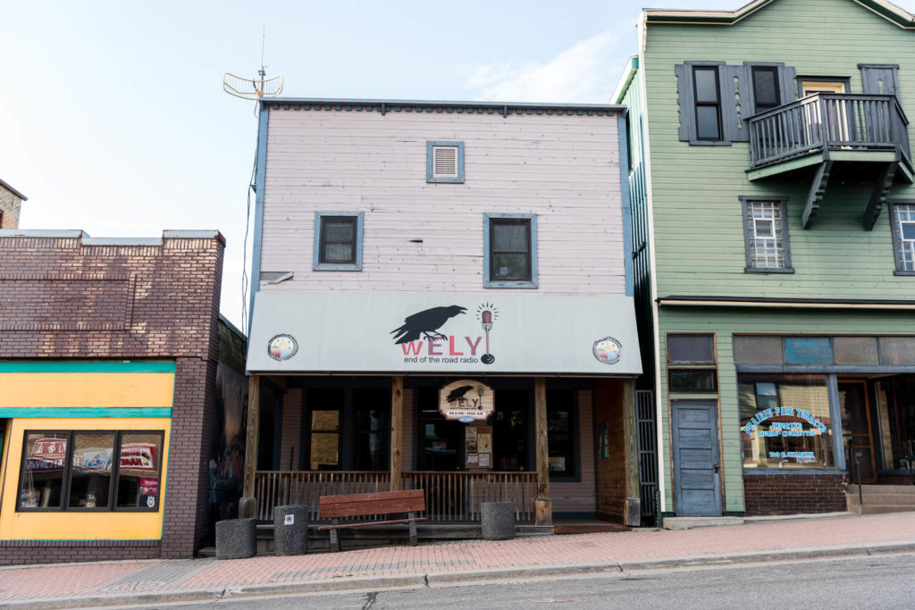
You can purchase locally handmade moose-hide mukluks, choppers, custom canoe paddles, and all kinds of gallery artwork and camping gear in Ely, so allow some walkabout time. There’s also a park, a theater, camping, motels, and cottages if you are inclined to linger overnight. Delicious sit-down meals are offered at several nice joints. You can choose from two brands of gasoline and even buy the no-ethanol premium most older bikes like best. The vibe is Western ski town without mountains, just an endless, roadless wilderness of lakes and forests as far as you can dream. Or paddle.
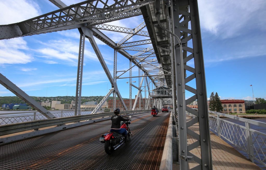
To get back to Duluth, ride west through Ely on Route 1, turn left (south) on S. Central Avenue (County Road 21), and ride about 30 miles to the town of Embarrass. Just to the west, turn south again on State Route 135. Follow signs for Aurora via CSAH (County State Aid Highway) 100, and continue to County Road 4, known as the Vermilion Trail, which was first cut as an overland pack-horse wagon trail into this canoe country. At intervals are several worn little iron-mining towns, a scattering of hardscrabble survival settlers, and a few more always-welcoming taverns. Before you know it, you’re back in the mini metropolis of Duluth.
The post Minnesota Lakes Loop | Favorite Ride first appeared on Rider Magazine.
Source: RiderMagazine.com

